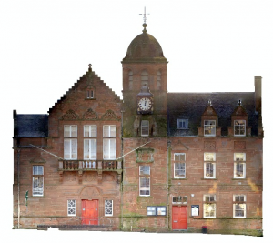
Upon scanning a property in the central belt, a subtle message appeared during processing.
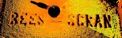
Cut neatly into a grassed area near the subject of our works, a noticable difference in the vicinity but not immediately recognisable when standing upon it, was the message that translates (for those of you not from the North and beyond) that Bees equal food.
We wonder if it will appear on Google Earth and Ordnance Survey aerial imagery next year?